I was up in an Irish Air Corp Cessna plane last Sunday along with a colleague from Mayo to carry out some aerial monitoring of the coastal SAC's. The Galway sites didn't seem to suffer as badly as some of the Mayo SAC we flew over. Most of the damage was to infrastructure such as roads, walls, etc. Great day to be up in the air though three hours was just enough for my stomach!
 |
| Killary Harbour, looking East. |
 |
| Cleggan causeway, Cleggan Bay on left, Lough Anillaun on the right. |
 |
| Aughrusbeg Lough and Rossadillask. |
 |
| Fahy Lough, Omey Island, Omey Strand behind. |
 |
| Turbot Island, one of the Corncrake strongholds of Connemara. |
 |
| Slyne Head islands. |
 |
| Aillebrack machair commanage, looking rather wet at the moment. |
 |
| Aillebrack, the road was washed away here which cut off several houses on this cul de sac. You can see how far the wave surge travelled up the small stream here by the sand deposited. |
 |
| Murlach beside Ballyconneely Bay. Huge amounts of seaweed deposited. The waves came over the road which flooded the lough which is normally half this size. |
 |
| Gurteen and Dog's BAy. The roads on both sides here were also washed away. At least three metres of the sandy spit washed away on both sides. |
 |
| Illaunnacroagh More & Beg with Croghnakeela in the background. The latter is one of Star the White-tailed Eagle's hunting spots. |
 |
| Finish Island off Carna, accessible for an hour or two at low tide. |
 |
| Fish farm off Kilkieran. |
 |
| Barr an Doire graveyard, Carraroe. Some damage to the graveyard walls and graves. |
 |
| Carraroe car park, wall and tarmac have taken a battering. |
 |
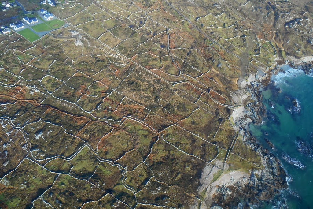
| Stone walls of Carraroe. |


Great shots. Really enjoyed looking at them and what a great experience. Cheers, Mike at Oretani Wildlife
ReplyDelete